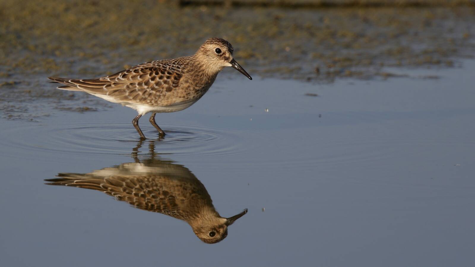
LA River Shorebird Survey
Aug 2023 and onward
Aug 2023 and onward
We are doing surveys of shorebirds in the Los Angeles River every fall. The goal of the surveys is to get a fairly thorough picture of shorebirds using the various stretches of the river, and how their distribution is changing over time. In its current form, there are three surveys per year in the fall. The first started August 2023.
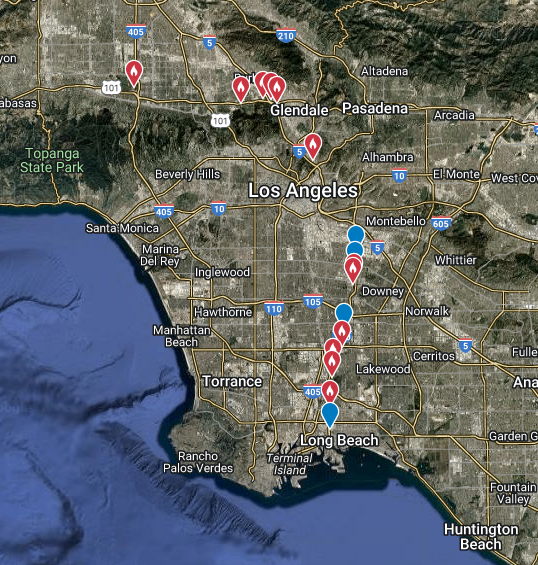
Going upstream from the river mouth, coverage is typically as follows: In Long Beach, between Golden Shore and Willow St; from Willow St to Wardlow Rd; and from Wardlow Rd to Alondra Blvd. In the Paramount area from Alondra to Rosecrans. In the South Gate-Maywood area from Southern Ave to Florence Ave and from Florence Ave to Atlantic Blvd. Farther north, areas with good shorebird habitat from the 110/5 Fwy intersection up to Glendale Narrows. And finally the Sepulveda basin dam area and Buena Vista Park in Burbank. We effectively look at every stretch of the river that has any shorebird habitat, excluding only some of the concrete channel wastelands in Downtown LA and the San Fernando Valley.
Data for all the surveys to date, including links to eBird lists, can be found in this google document.
The following is a map showing the coverage hotspots: